pianificazione


cartografia

Base Layer

- Title
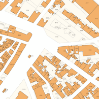
- Catasto Incendi
- Organization
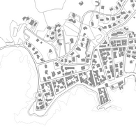
- comune di nardo
- Person
- geom. de benedittis
- luigi.debenedittis (at) comune.nardo.le.it
- Phone
- 0833 838228
- Projection
- EPSG:32633
- Extent
- 719889.1841788562014699, 4438154.54707129206508398, 806442.12239903095178306, 4479439.21216376032680273
- Web Map Service
- WMS Url
- WMTS Url